Assessment of Coastal Dune-Vegetation Dynamics Using Kite Aerial Photography
Abstract
The dunes in the Sunset District in San Francisco, California have seen increasing levels of erosion over the past several years, which puts the neighborhood at risk and necessitates costly sand management for the City and County of San Francisco where critical infrastructure must be regularly cleared of sand moving inland. A revegetation project intended to alter the morphology of a small sand embankment with native dune grass to stabilize it by trapping sand and slowing erosion from wind.
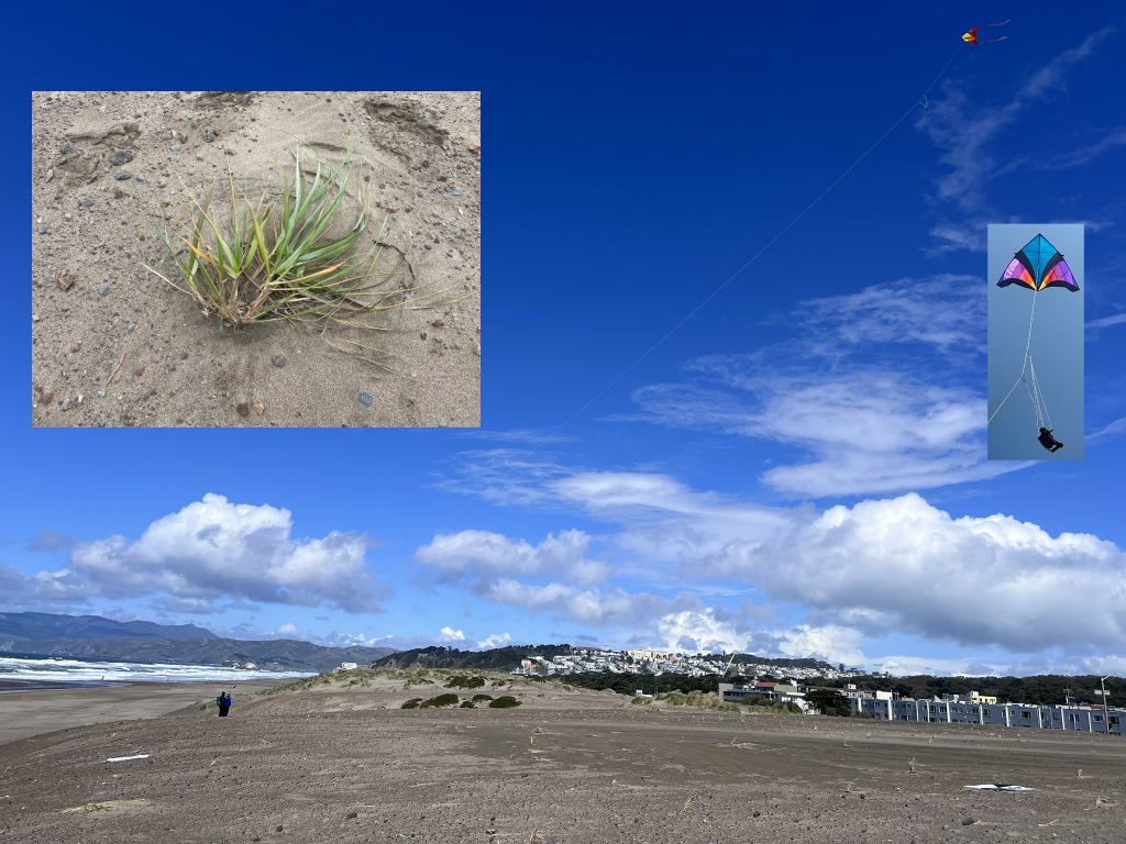
This study assessed the progress and impact of the dune revegetation project at Ocean Beach by using kite aerial photography (KAP) combined with Structure from Motion techniques to collect high accuracy and high-resolution imagery and topographic data to analyze change over time at the study site. Data collection included five aerial surveys, two ground surveys to assess the accuracy of the KAP-derived elevation models, and four vegetation surveys. This data was then analyzed through land cover classification and geomorphic change detection to assess change over time, and to assess the accuracy of the KAP-derived data. We found kite aerial photography to be an effective, low-cost method for acquiring high quality and accurate data for mapping coastal sand dunes and a viable alternative to more expensive traditional survey methods and other types of remote sensing. Surveys accurately captured sand movement and vegetation survivorship throughout the ten-month period.