A Remote Sensing Analysis of Pitch Canker in Bishop Pines at Point Reyes National Seashore

Abstract
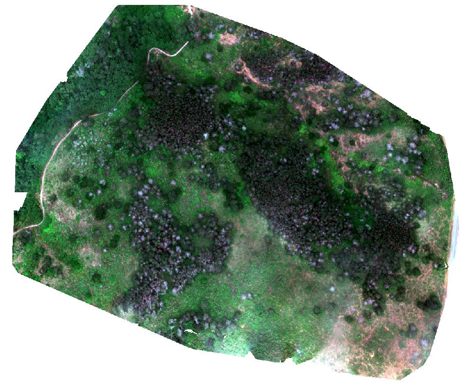
Pitch canker is a fungal disease that threatens the health of Bishop Pine (Pinus muricata D. Don) trees at Point Reyes National Seashore (PRNS). Understanding spatial patterns of tree mortality is important for land management decisions that aim to protect healthy forests. Remote sensing methods have proven to be successful in mapping and monitoring forest health. Using two different types of imagery at fine spatial resolution (WorldView- 2 imagery at 2 m pixel size and unmanned aircraft system (UAS) imagery at 0.05 m pixel size), three images (from 2013, 2017 and 2018) were classified with object-based image analysis (OBIA), and GIS was employed to quantify changes in pitch canker severity (PCS) from 2013 to 2017. Overall accuracies of 63.8% and 81% were achieved for the 2017 and 2018 classified images, respectively. In contrast to previous findings, the red-edge (RE) band was found to be a poor predictor of pitch canker severity; however, the addition of multiple variables in a stepwise multiple linear regression model increased the overall accuracy (81%) and coefficient of determination value (0.3562) for the 2018 imagery. We found that pitch canker severity in Bishop Pine trees increased between years 2013 and 2017 in over 32 ha. An additional 55 ha of Bishop Pine forest was identified in the 2017 classified image as having shown an increase in pitch canker severity. This study presents novel methods for successfully detecting and classifying pitch canker severity in forest ecosystems.