Understanding Flood Risk Perceptions in San Francisco's Mission Bay North Neighborhood
Abstract
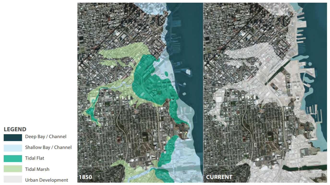
This study examines flood risk perception in San Francisco's Mission Bay North neighborhood, a reclaimed-bay infill area where approximately 70% of the land falls within the SFPUC 100-year flood zone. Using a mixed-methods design combining a cognitive mapping exercise with a quantitative questionnaire on flood experience, awareness, worry, and preparedness, 21 residents were surveyed between January and June 2025. The cognitive mapping analysis produced a mean Lee Sallee Index of 0.087 across participants, well below the 0.3 spatial-agreement threshold identified by O'Neill et al. (2015), indicating substantial divergence between residents' mental maps of flood risk and the SFPUC 100-year flood extent. Duration of residency did not significantly affect LSI scores, suggesting the spatial gap is community-wide rather than concentrated within a particular residency group. All 21 survey respondents scored within the Moderate flood risk perception category, with no respondents falling in the Low, High, or Very High ranges. Flood exposure was not significantly associated with higher overall flood risk perception and neither agency confidence and worry nor awareness and worry were significantly correlated in this sample. These findings indicate that residents share a baseline awareness of flood risk but lack accurate spatial understanding of where flood risk is concentrated within their neighborhood. This pattern reflects a communication and education gap rather than a general awareness gap creating implications for how flood agencies communicate risk in newly developed neighborhoods.