Course Number
Geog 611/711
SFSU Bulletin Description
Credits
4
Course Type
College
Department
Course Description
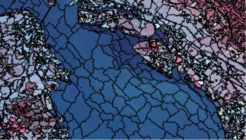
Advanced remote sensing and digital image processing. Selected topics cover corrections of topographic effects, orthoimage and DEM generation from stereo images, advanced classification algorithms, and hyperspectral imaging using ERDAS Imagine and ENVI software. The class ends with object-oriented image analysis (OBIA) using eCognition.
Term