Jerry Davis
( He/Him/His )For office hours, see https://environment.sfsu.edu/faculty-office-hours
Ph.D., University of Georgia
Courses Taught
Watershed Assessment and Restoration
GIS for Environmental Analysis
Programming for Geographic Information Science
Seminar in Physical Geography: Geomorphology
Personal Zoom
https://sfsu.zoom.us/j/2372141258?pwd=VkJVNkF4L0pqT2FUWmlETDU0WDZSdz09
Biography
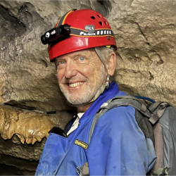
Recent research study areas: Marble Mountains, Bay Area coastal streams, Sierra Nevada meadows, Tennessee (karst)
Jerry Davis's research focuses on geomorphological field methods, related hydrological processes and biogeomorphic interaction, low-altitude remote sensing such as terrestrial LiDAR, and GIS surface modeling in investigating the response of streams and hillslopes to disturbances, assessment of stream restoration projects, and karst systems. Current projects include sites in coastal creeks impacted by urbanization, the northern Sierran montane meadows impacted by grazing and timber extraction, and the Marble Mountains Karst. GISc and environmental data science analysis methods focus on R, Python and ArcGIS. GitHub: @spedunkler. Youtube playlists: https://www.youtube.com/@TheSpedunkler/playlists
Access Introduction to Environmental Data Science at https://jerryddavis-envdatasci.share.connect.posit.cloud/